Return to the Wards' Home Page
|
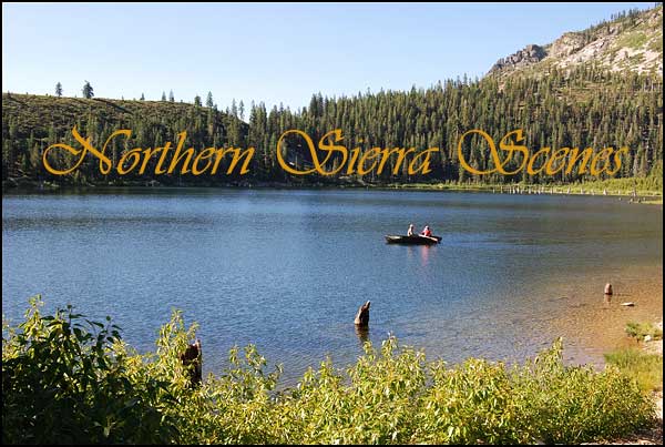
There are scenes that remain in the memory as striking or peaceful or unusual, or perhaps they are recalled because of the activity associated with them. For whatever the reason, it is a pleasure to revisit them and to share them with others. |
|
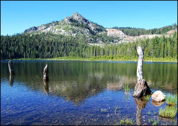
Eureka Lake in Plumas Eureka State Park is near the historic town of Johnsville, CA. |
|
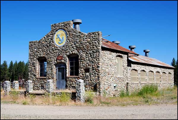
An interesting
river rock building stands at the side of a little-used country road.
A plaque explains its history.
|
cI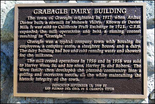
|
Graeagle has
succeeded as a tourist center. There are boutique shops in the small buildings
that were probably the employees' housing. A large, very green golf course
is near by.
|
|
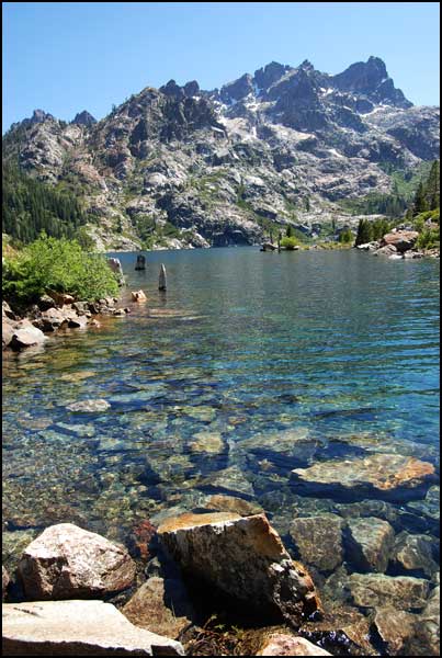
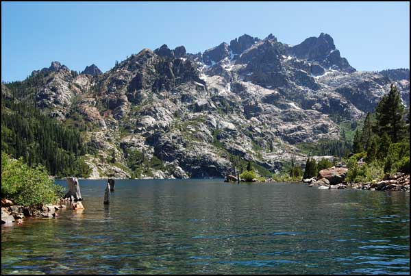
We followed
a short but rough 4WD road to Upper Sardine Lake and the Sierra Buttes
in the Lake Country north of Sierra City.
|
|
The Sierra
Buttes can be seen from Highway 49, but the best view is probably from
the square lookout on the third peak from the right.
|
|
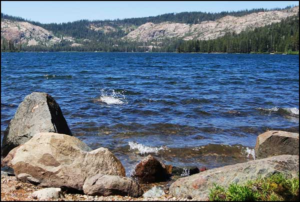
Whitecaps
dotted Gold Lake, a large natural lake in the glacier-carved Lake Country
north of Sierra City.
|
|
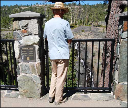
A well-designed
handicapped accessible trail leads to Frazier Falls and a viewing platform.
|
|
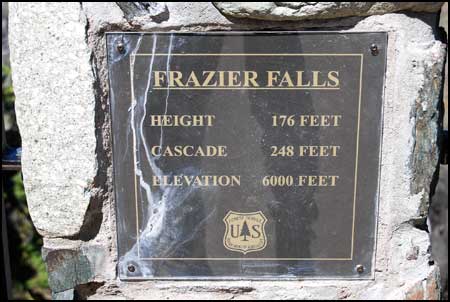
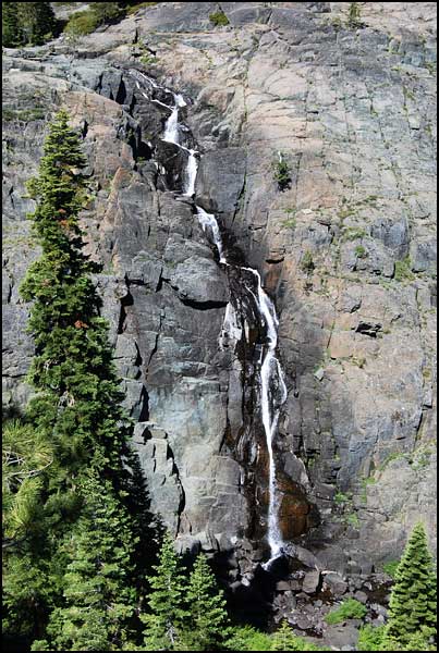
Draining
out of Gold Lake but some distance to the east of the lake, Frazier
Falls cascades down the stairsteps on a granite monolith.
|
|
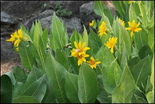
Mule Ears
bloom in the Lake Country in June.
|
|
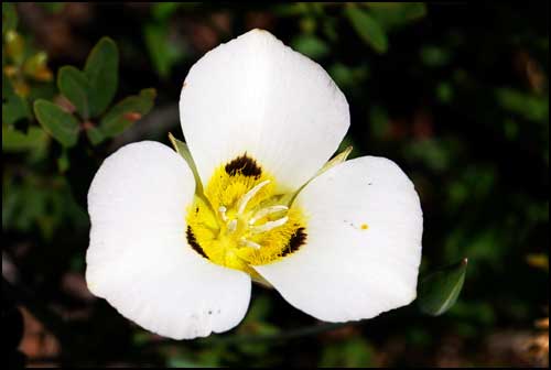
Leichtlin's
Mariposa Lily bloomed near the trail.
|
|
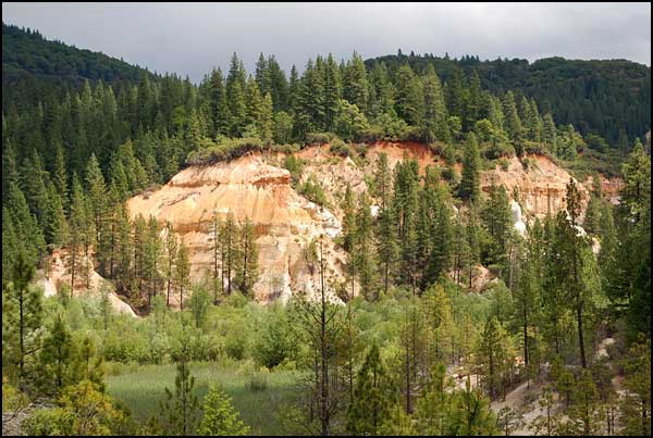
California's
largest hydraulic mine used hoses with high pressure water to wash away
soil to free fine gold dust. The process was abandoned in 1884 when
a judge ruled that it was silting the rivers, causing problems for farmers
downstream. Today Malakoff Diggins is an interesting combination of
eroded cliffs, trails and a historic gold mining town.
|
|
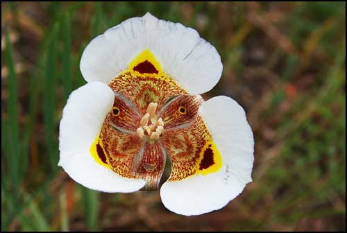
We found
a different Mariposa Lily at Malakoff Diggins.
|
|
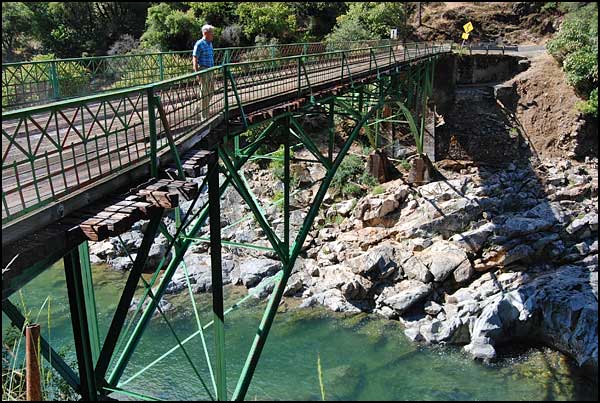
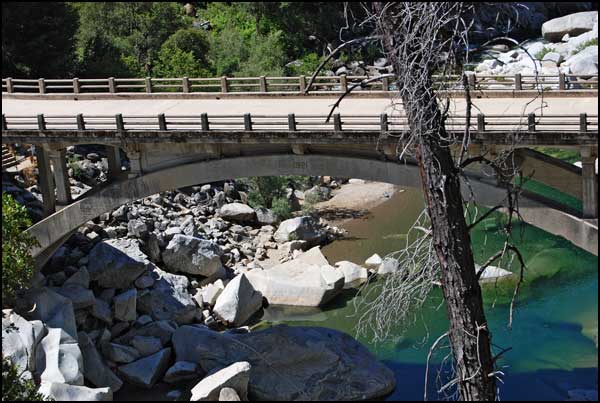
Edwards
Crossing, a one-lane bridge over the South Yuba River on the North Bloomfield
Road, was built in 1904 and is 114 feet long.
|
|
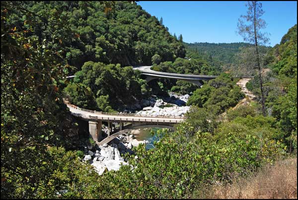
Highway
49 crosses the South Yuba River on a bridge built in the 1990's.
|
|
The 1921
bridge is now a pedestrian bridge. The popular South Yuba River State
Park extends twenty miles along the river.
|
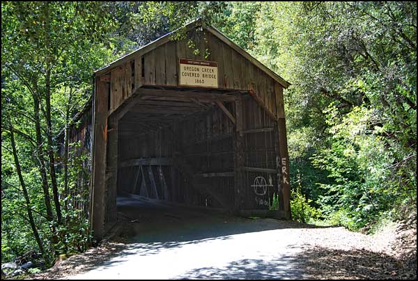
| The covered bridge spanning Oregon Creek, near its confluence with the Middle Fork of the Yuba River, was built in 1860 and is still in use today. It was part of the Henness Road which linked the gold country with the new silver mines in Virginia City, Nevada. As gold mining in California slowed, miners rushed to the Comstock in the early 1860's. Because the route was so popular it was suggested that freight wagons should travel by day and passenger stagecoaches at night. A nearby plaque reads: Built in 1860, the Oregon Creek Covered Bridge was floated from its foundations by the flood waters from the breaking of the English Dam in 1883. It was restored to place by using ox teams and log rollers, but was turned end for end in the process. |
|
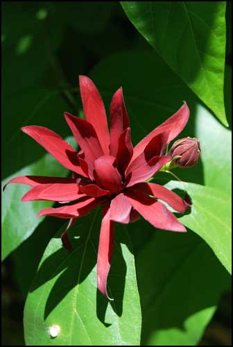
Spicebush
grows along Oregon Creek
|
|
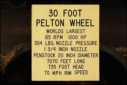
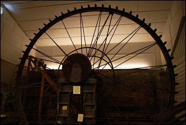
The Pelton
wheel at the Northstar Powerhouse Museum, Grass Valley
|