Return to the Wards' Home Page

|
July 19-20, 2007 |
|
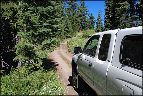
West of Plumas Eureka State Park and south of the Middle Fork of the Feather River, we found dirt roads to wander and an opportunity for dispersed camping where we were the only campers in a silent forest. |
|
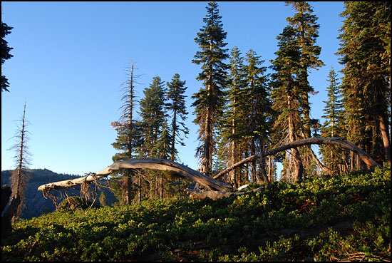
In the early
light of morning, Darlene found this scene showing nature's rhythm. Low
manzanita covered the ground and the trees grew tall in spite of their
exposure on a point of land high above the deep canyon of Jamison Creek..
|
 |
 |
 |
|
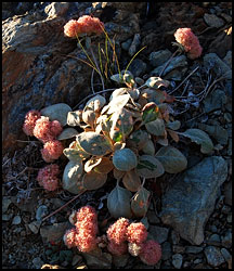
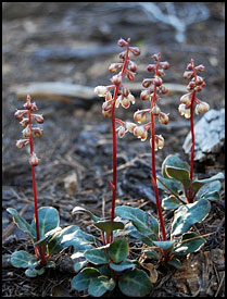
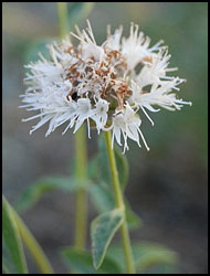
Lobb's Buckwheat
hugged the rocks on the outer edge of the promontory. Although it looks
like Pussy Paws, it is in a different family. Eight-inch high White-veined
Shinleaf grew under the trees. Foot-high Pennyroyal bloomed everywhere,
giving off a fragrance when bruised. Its leaves and blossoms may be used
to make a tea.
|
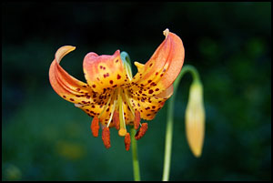 |
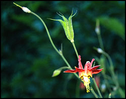
Leopard Lilies
and columbine grew in the moist ditch at the side of the road.
|
 |
|
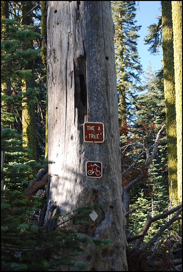
We walked along
the dirt road to an intersection, where we found the A Tree, a prominent
landmark in this portion of the Pacific Crest Trail. As we hiked a mile
along the trail, we met a through-hiker who told us that his guide book
explains that a work crew found a bee tree nearby and decided that they
needed an A tree if there was a B tree.
|
|
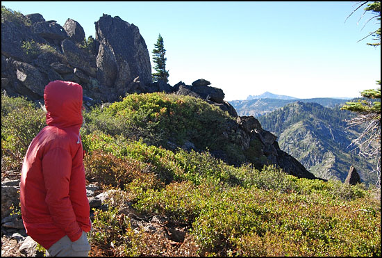
We were able
to drive a dirt road almost to the top of Eureka Peak, elevation 7,447
feet. The wind buffeted us as we walked the last bit and looked south
across the canyon to the peaks of the Sierra Buttes. In spite of how it
looks, It really wasn't cold. Jim's parka billowed in the wind and his
hood kept his cap from flying away.
|
|
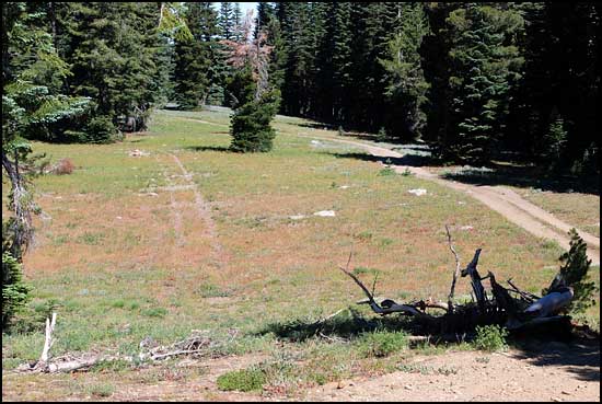
This dry meadow
illustrates the long-lasting damage caused by thoughtless off-road driving.
The silvery sheen on the grass in the distance was light reflected on
the leaves of silver lupine.
|
|
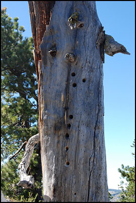
It would be
interesting to meet the inhabitants of these holes.
|
|
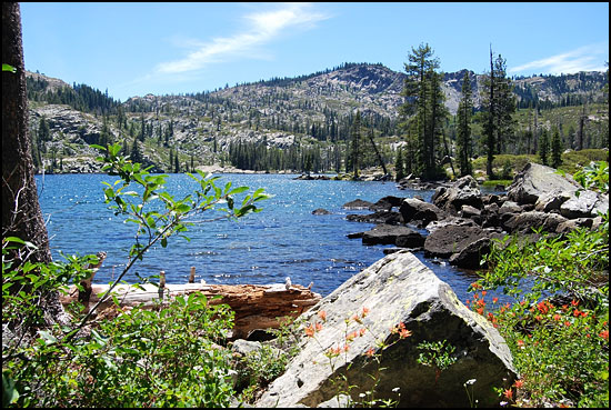
We hiked
on the Bear Loop and Overlook trails in Lakes Basin. The first lake
is Big Bear Lake.
|
|
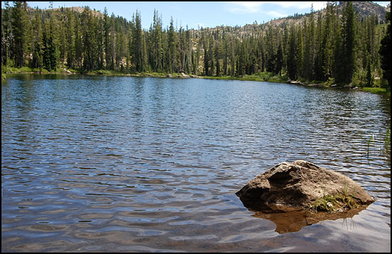
Little Bear
Lake was next.
|
|
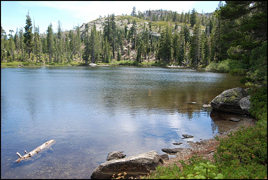
Cub Lake
was third.
|
|
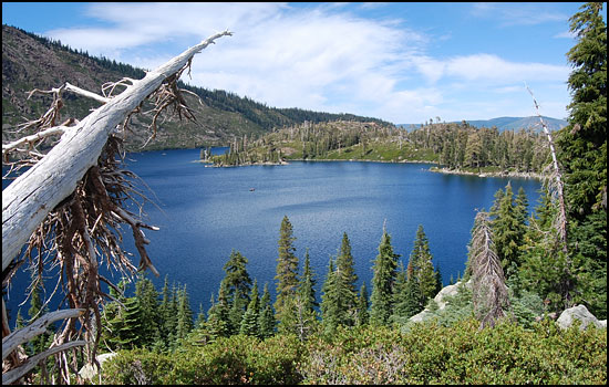
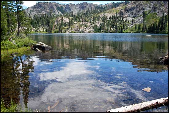
Our trail
provided a spectacular view of Long Lake.
|
|
We turned
to Silver Lake, but could have continued to the Pacific Crest Trail
on the ridgeline above.
|
|
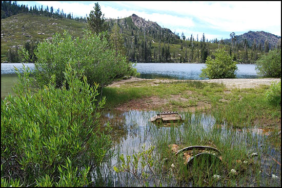
Round Lake
had an interesting history of gold mining. Although the area was prospected
during the Gold Rush, the mine was developed in 1914. A stamp mill was
built in 1915. Little gold was found near the surface as the quartz
vein lay under the lake and was covered with glacial debris. In 1918
a shaft 300 feet deep extended 100 feet east and 160 feet under the
lake. A second mill was built in 1935, but it burned soon after opening
and the mining was abandoned. Debris still litters the area.
|
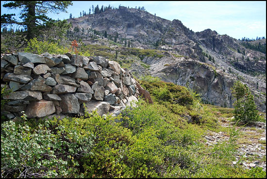
| This dry stacked wall appeared to be left from the days of mining at Round Lake. It interested us because Jim has been building dry stacked walls at our home, and he knows how much effort is required to select the rocks to pile on top of each other and maintain stability. |